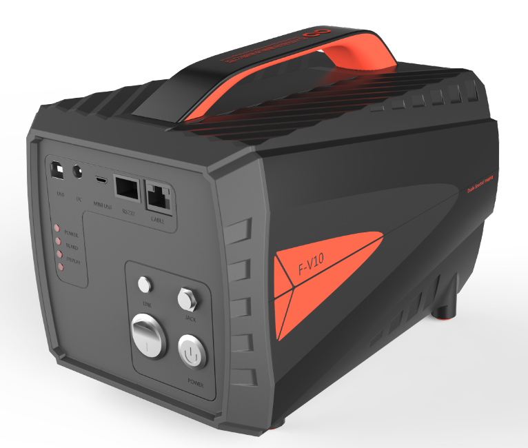
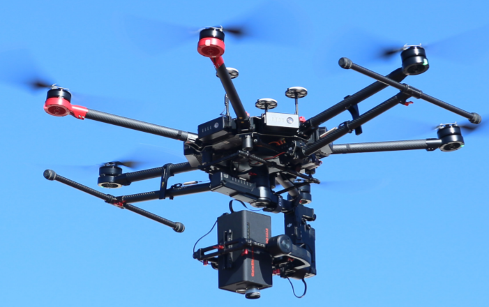
Hyperspectral Imaging System


Purpose
It can be widely used in target recognition, camouflage, counter camouflage military application field and ground objects, water body telemetry, modern fine agriculture ecological environment condition monitoring and criminal investigation, the protection of cultural relics, biomedicine and industry sorting, etc.
Key features and Benefits
- Auto exposure time;
- Auto focusing;
- Auto match scanning speed;
- Auxiliary camera (user can observe you want);
- Data analysis (reflectance /radiometric /uniformity/ lens/ area calibration)
- Spectra /imaging view and export;
- Spectral Angle matching
- NDVI (advance custom)
- PCA
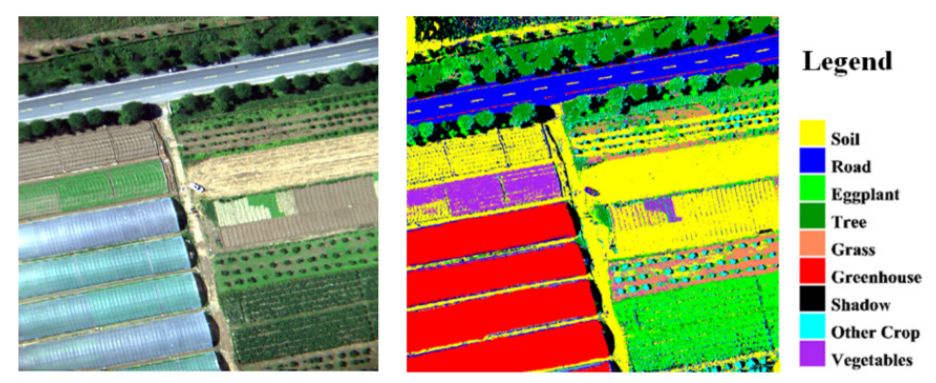
- Supervised classification
- Support lens change
- Standard type data (support envi/ envice/ matlab)
- Support Ipad or phone control
Application Area
- Atmosphere: water vapor, cloud properties, aerosols;
- Ecology: chlorophyll, leaf water, cellulose, pigments, lignin;
- Geology: mineral and soil types;
- Coastal Waters: chlorophyll, dissolved organic materials, suspended sediments;
- Snow/Ice: snow cover fraction, grainsize, melting;
- Biomass Burning: subpixel temperatures, smoke;
- Commercial: mineral exploration, agriculture and forest production
- Environmental: water quality monitoring, atmospheric monitoring of the Marine environment
- Agricultural: plant disease feature classification agricultural census
- Military: anti-camouflage
- Geological research: mineral exploration, basic geological survey, soil quality survey
For more details and
catalogue request, email to:

